Henley Whalers - Possible Future Long Rows and Events
Version 7/12/18
Please re-visit periodically for updates.

Henley Whalers - Possible Future Long Rows and Events | Version 7/12/18 |
|
This page features Other ideas include Sail the Greek Mediterranean . |
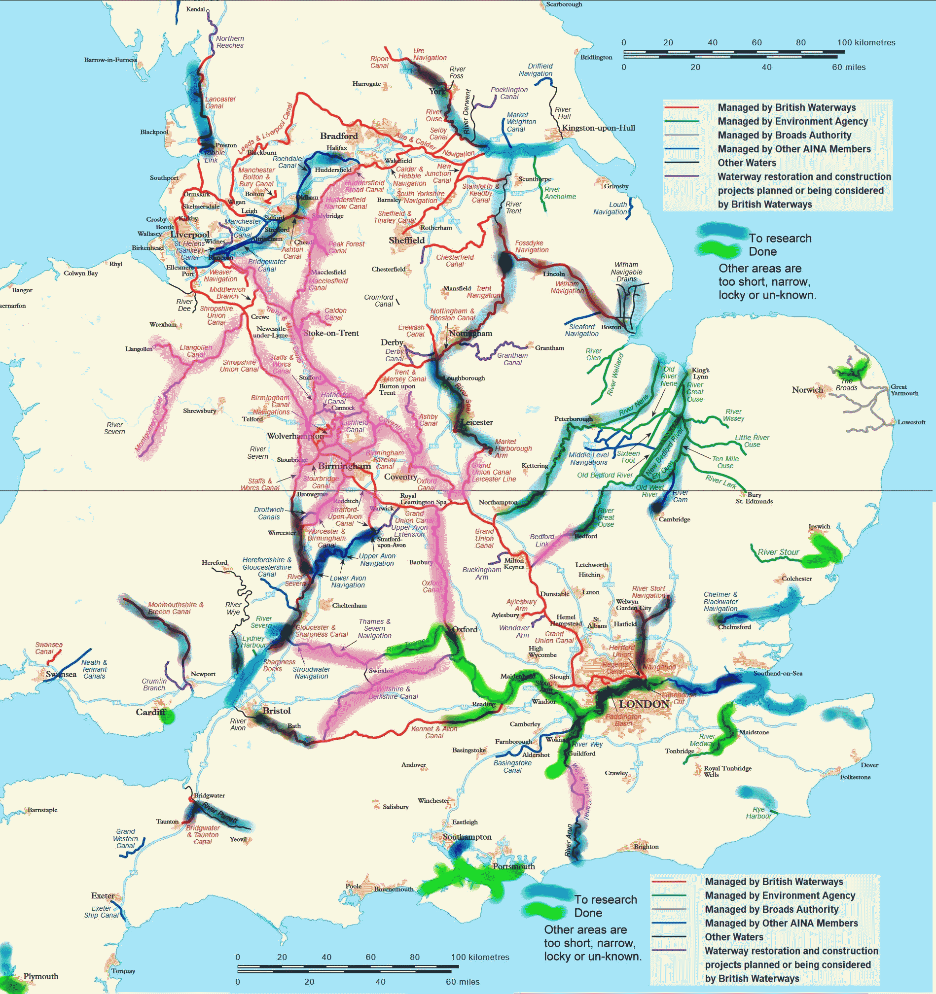
UK Which of these UK Waterways would you like to explore in Molly?
Most would need research. See the table below for more information
|
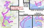
ABROAD
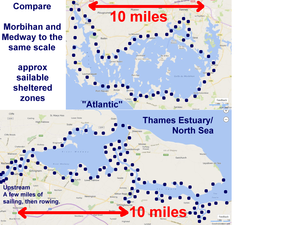
Various waters compared. Several "Whalers" are interested in We could charter one or more live-aboard yachts Want to know more? - Click the map above. |
Ideas please to Webmaster. Use this handy reply form |
|
DESCRIPTIONS NAVIGATION, etc - (Data being collected - PLEASE SEND ANY USEFUL LINKS.) (Canal Guide = Nope) - ("Waterways Routes" = nope) |
|
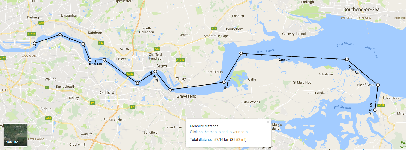
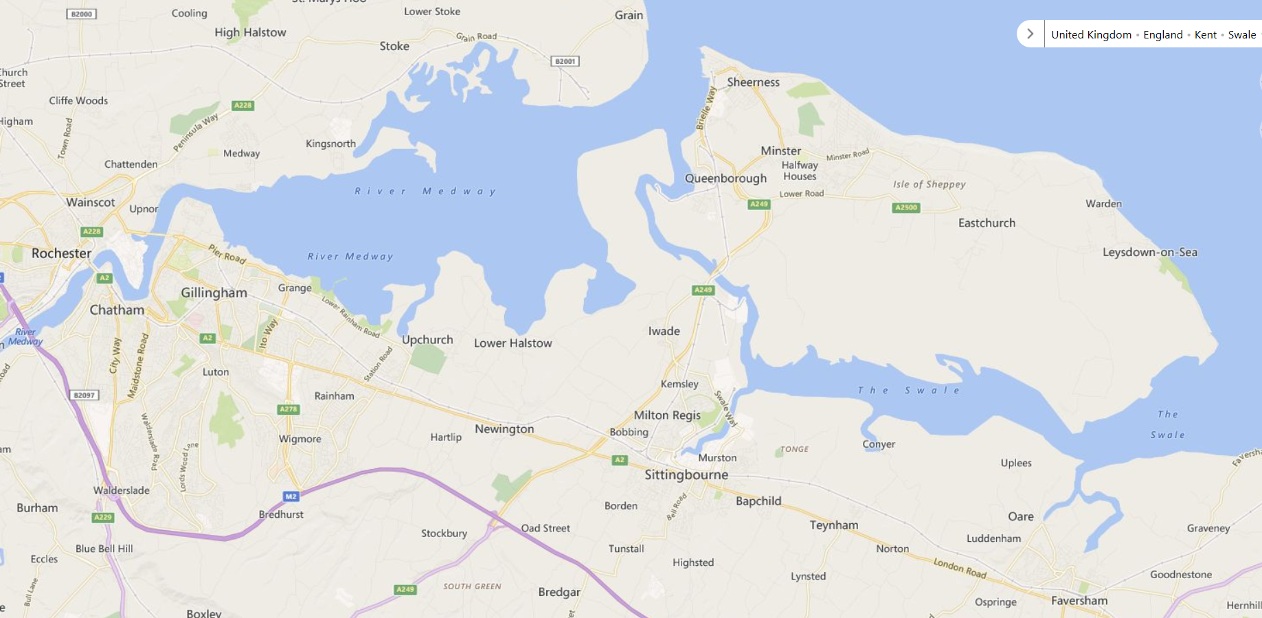
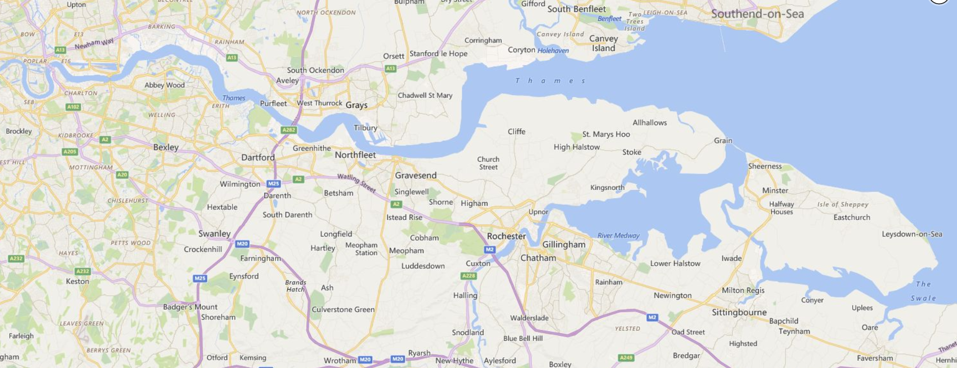
2018 would be the 351st anniversary of the Battle of the Medway (The Dutch inflicted one of the worst ever defeats on the British Navy) DESCRIPTIONS NAVIGATION, etc (Canal Guide = Nope)? - ("Waterways Routes" = nope) Slipways - Bottom end:- ACCOMMODATION:- |
|
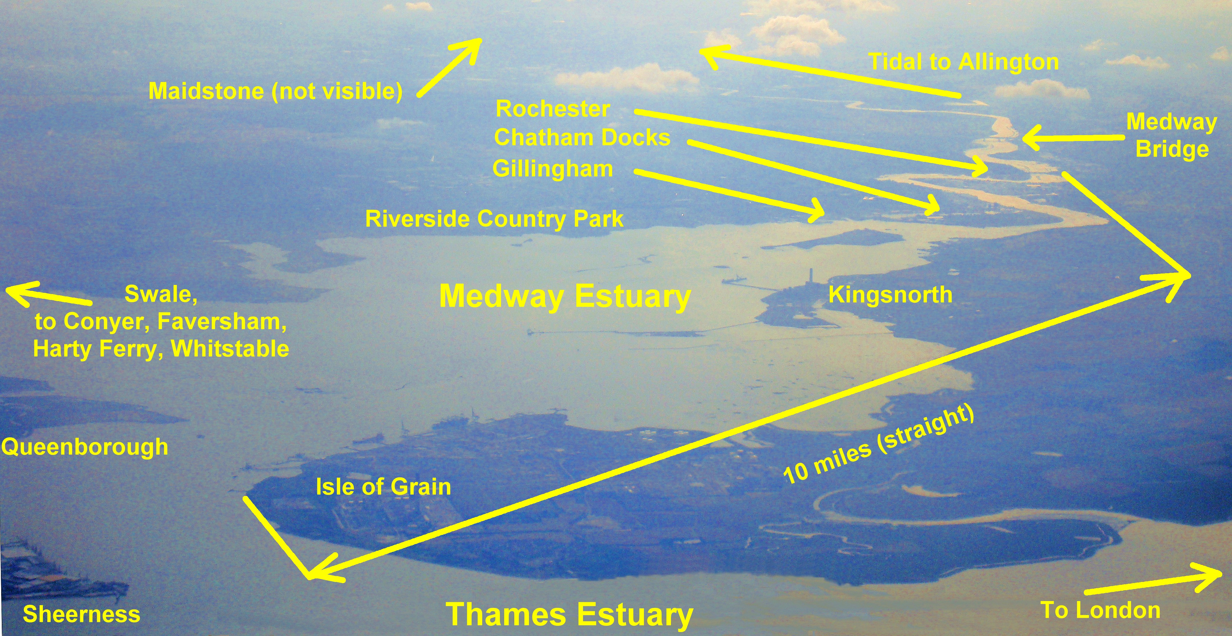
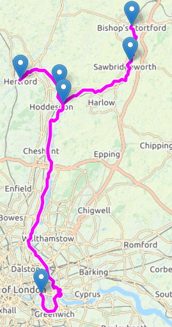
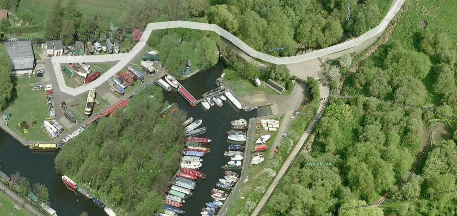
DESCRIPTIONS NAVIGATION, etc Slipways - Top end Bottom end - At Thames, need to consider - Tide height & direction. Possible slipways. BB has kindly offered to do the on-site research for this region, and currently suggests:- 1. Friday PM: Launch at Lee Valley Marina (Stanstead Abbots) public slipway see Boatlaunch Both the above are shorter than our normal two day rows, but we’d need to add time to reach whatever slipway we finish at and possibly account for the tide. If Poplar Rowing Club, we could potentially choose to emerge at whichever of Limehouse or Bow gives us the best passage to the slipway for the state of the tide." |
|
Misc info sources and technical stuff:- NAVIGATION, etc Weather forecasts (based on Reading) - "Dark Sky". TWO . Metcheck, YR, Met Office, TWC.. Slipway - Top end - Other sources:- Boatlaunch . Use the map to find slipway then details. |
.Back to Top |
|
|